Pasighat town is situated at an altitude of 155 metres above Mean Sea Level (MSL), on the banks of the river Siang-Sibokorong, flowing southwest. It is located approximately at latitude 28°4′N and longitude 95°9′E, at a distance of 261 km from the capital city, Itanagar. The town is connected by National Highway 52, NH-229 (Aalo–Pangin–Pasighat), and NH-513 (Pasighat–Mariyang–Yingkiong), with a good network of roads linking to the nearby towns of Mebo, Along, Ruksin, Dhemaji and Lakhimpur. The nearest railway station is Murkongselek, 35 km from the town.
Pasighat City
Where Pasighat sits, and how it connects to the rest of the region.
Historical Perspective
Pasighat derives its name from the 'Pasis,' a sub-tribe of Adi of the area. Pasighat is Arunachal Pradesh's oldest town, established in 1911, and is the district headquarters of East Siang district. A political officer was appointed that year to help the natives of the area come down to the plains of Assam for trade and commerce. The people of East Siang District were the first natives of the state to come into contact with the mainstream, and it is therefore that this district is called the gateway to Arunachal Pradesh.
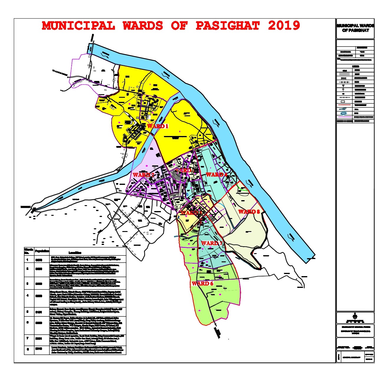
Pasighat was designated a census town in the 1971 Census. The urban governance in the town was done by the district administration, and in recent years an Urban Local Body in the form of Pasighat Municipal Council has taken shape.